Map Layers
Here you can choose
(NB! The choice will take effect after button.)
1) background map:
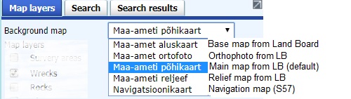
NB! Ortophotos from Land Board are visible only when map scale is big enough.
2) layers and their styles:
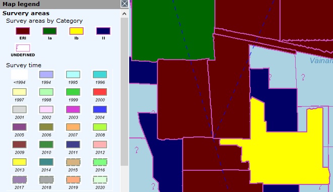
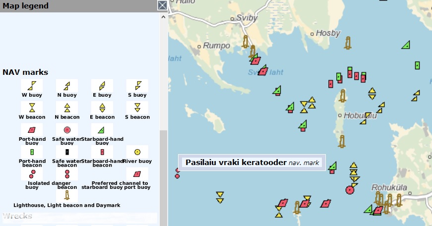
survey areas
styled by:
- Category
- Category and name
- Survey time
- Survey time and name
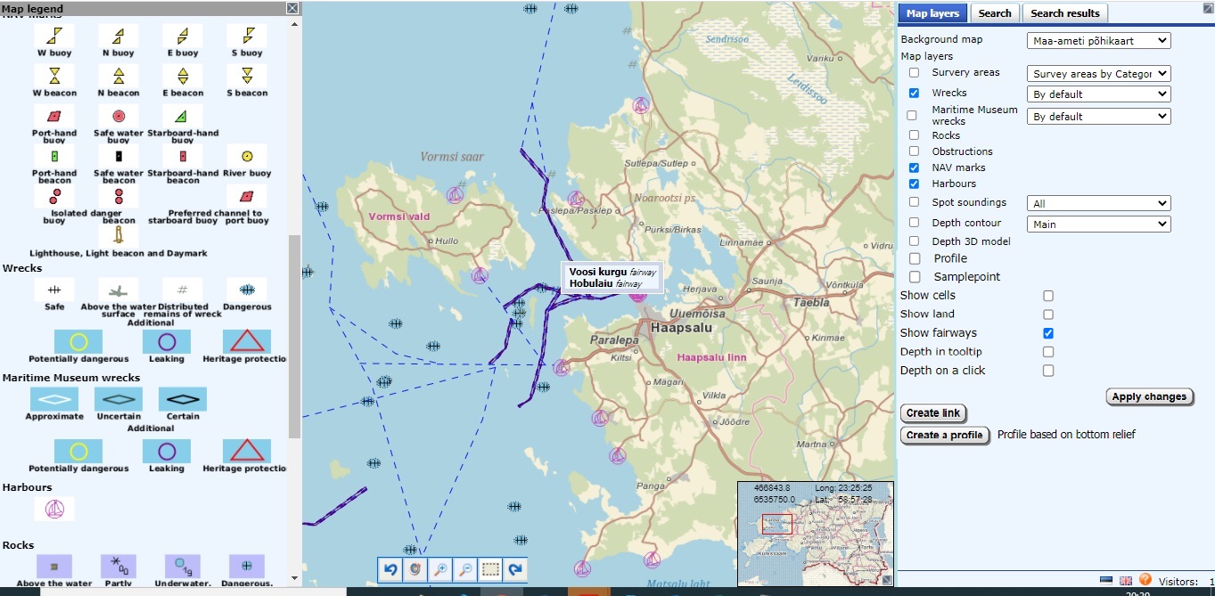
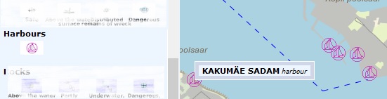
harbours
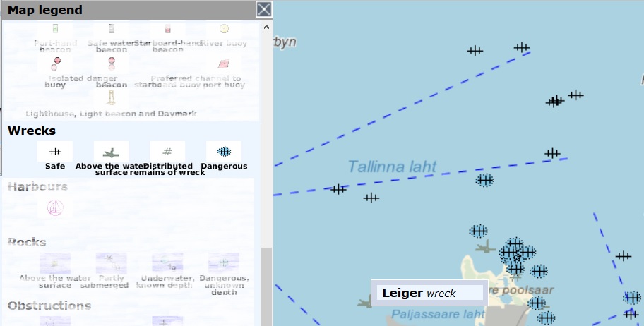
Wrecks
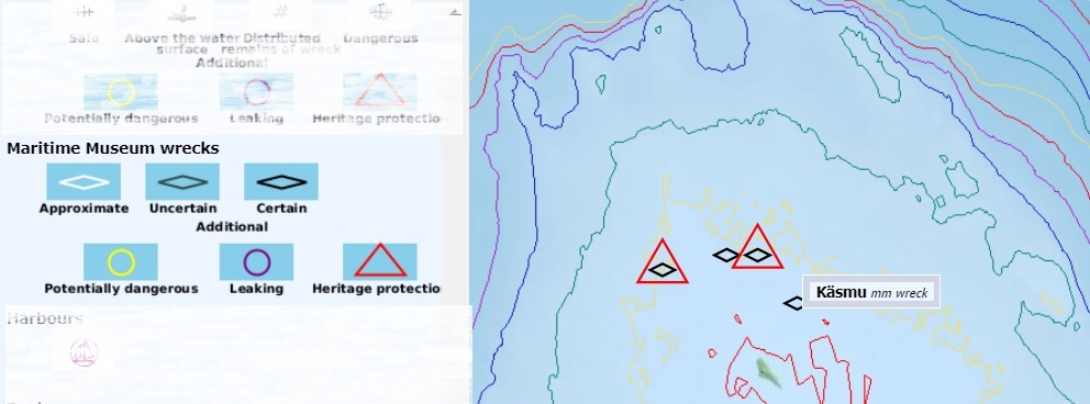
Maritime museum wrecks
Rocks or obstructions
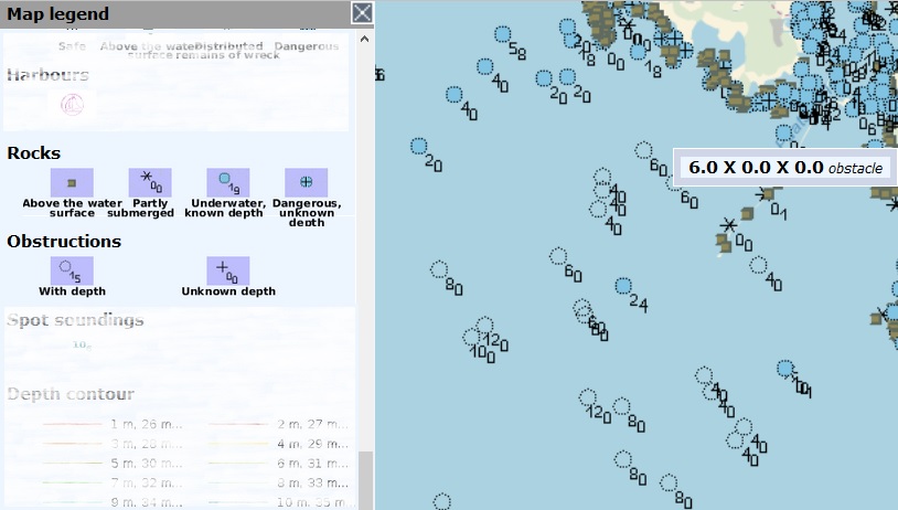
Depths

can be styled:
- Default (major soundings)
- Reduced
- Black Default
- Black reduced
Depth contours
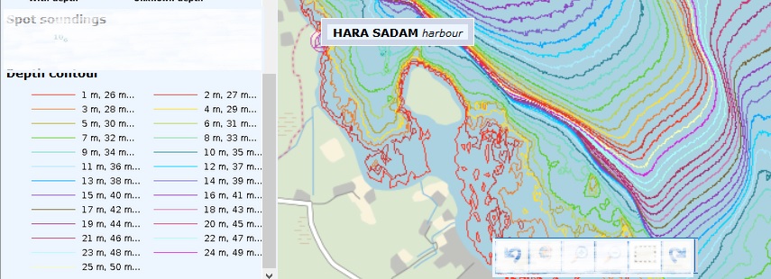
can be styled by:
- Default (1, 2, 5, 10...)
- Base 5
- All starting from scale 7
- All starting from scale 8
- All starting from scale 9
Profile (Depth 3D model)
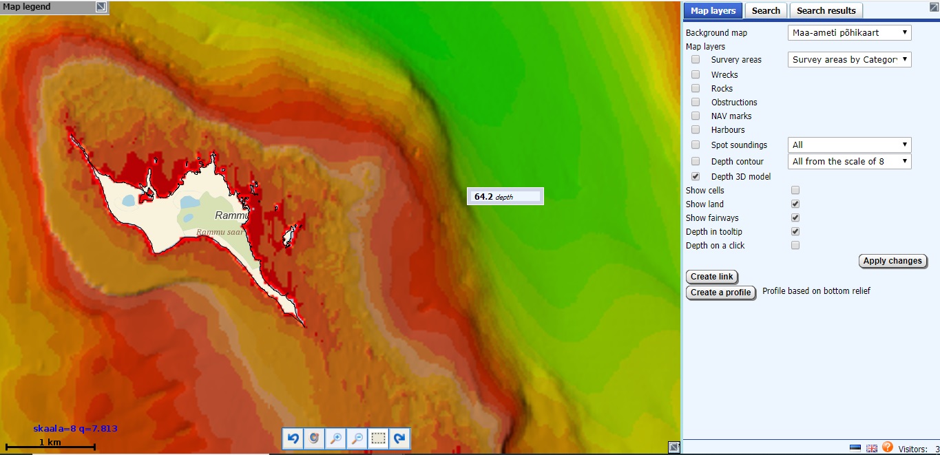
Relief (is visible from sufficient scale)
Sample points
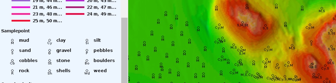
Sample points (are visible starting from sufficient scale)
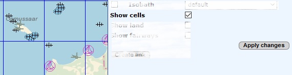
To facilitate management, map is divided to squares. They can be made visible by choosing Show cells:
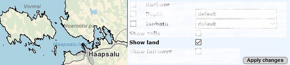
Land contours can be made visible by choosing Show land:
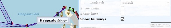
Fairways can be made visible by choosing Show fairways:
Depth in tooltip: if this option is chosen, spot depth in meters will be shown in the tooltip on mouse stop
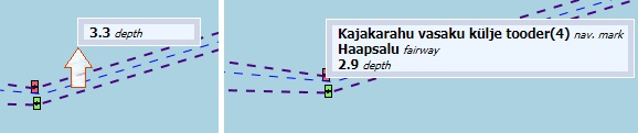
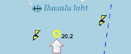
Depth in click: with this option on left mouse click, the spot will be highlighted with yellow ring on the map and depth in meters shown next to it
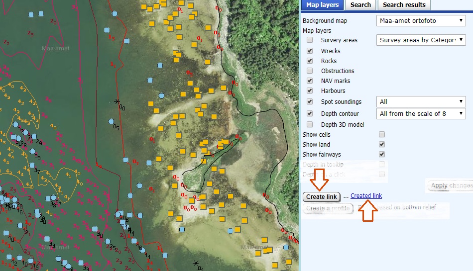
For the view composed (base map, layers and zoom) link can be created by pushing button
Create link
Link will appear right next to the button and can be handled with browser tools (right mouse
button).