Main View
The Main view is shown when you open the application and you also return
here after completing various tasks.
There are two parts in the main view, map and
task panel.
In the task panel on the right side of the window you find the following tabs:
- Map layers for configuring map display;
- Search for entering criteria for searching
- Search results lets you browse the results of last query;
The panel can be closed from the little cross in the up-right corner.
The Map is the major part of the display.
From the Map layers tab in task panel you can choose background map and information layers.
The map is fully interactive, you can zoom in and out, query objects and survey areas, pick up or search coordinates and also measure distances and areas.
When searching for objects or survey areas the map view will be
automatically centred at the selected object.
Hovering the mouse over the map opens a pop-up window (tooltip) with a list of all objects under the mouse cursor.
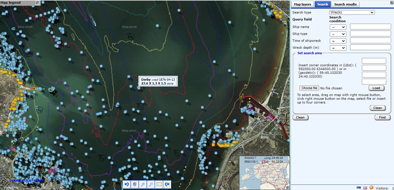
HIS main view (click to enlrge)
Clicking the left mouse button brings up detailed information about objects under cursor in a new browser window—Data window.
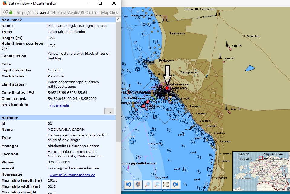
Detailed data window
Clicking the right mouse button on the map brings up the context menu presenting following functionality
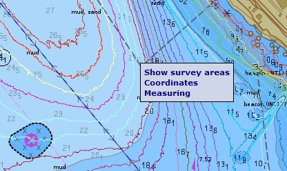
Context menu
NB! Context menu does not appear in situations where the right mouse button has other functions (e.g. when measuring distances).
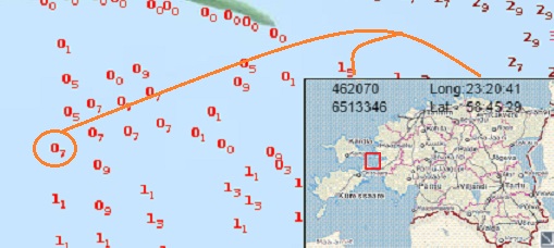
In the lower right corner of the map, there is the overview window, where the current map view is marked with a red rectangle. The view can be moved around by this rectangle (but not zoomed). Also, the current L-Est and the geographical coordinates under the cursor are displayed at the top.